
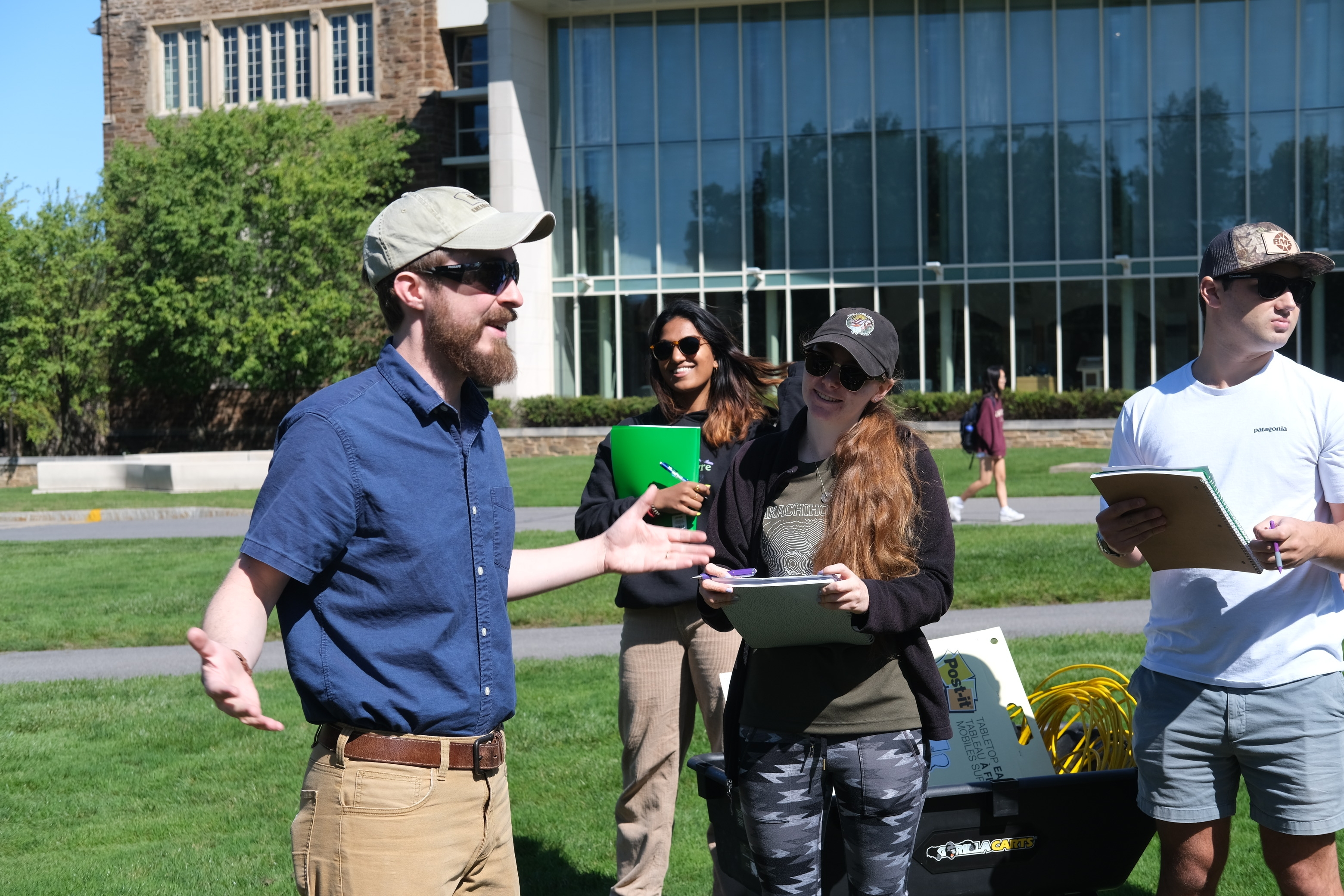
On the ground lies a long string of perfectly spaced spheres jammed into the dirt. One student stands in front of the rest, headphones on and hammer in hand, and you hear a clang as the hammer hits a metal plate on the ground. You wonder, has the College taken to offering students construction jobs? No, it has not. In reality, you are witnessing one of the first classes of a new experiential learning course, Experiences in Geophysics, taught by Assistant Professor of Geosciences Nick Roberts.

“Experiential learning allows students to engage with something that they recognize has a connection to real-world problems,” Roberts said. “And that engagement brings a motivation, especially for some students, that’s hard to access in a more abstract classroom setting.”
Geophysical techniques, such as those used in this course, obtain physical measurements at or above the Earth’s surface to study the subsurface below. The previously described method is known as a seismic survey. The hammer strike sends into the ground seismic waves, which are reflected off of boundaries between two distinct rock types. These reflected waves are measured by the perfectly spaced spheres, known as geophones, and are analyzed to determine potential rock types below.
In addition to seismic surveys, the class studies gravity and magnetic surveys, which measure slight variations in the gravitational or magnetic field to determine variations in the subsurface rock type.
“It’s looking at geology in a way we haven’t in other classes,” Adeera Batlay ’25 said. “Instead of thinking about the rocks themselves, it’s more how can we collect data on them and build this new picture about what comprises the subsurface.”
“For most students, this forces them to dig into the problem more and access that deeper curiosity.”
As the name implies, the course focuses on experiences related to geophysics, supplementing data collections and analyses with lectures on theory. Conducting seismic, gravity, and magnetic surveys gives students a glimpse into three of the most common geophysical techniques used across geoscience industries, from oil and gas exploration to geological engineering to environmental consulting.
“It’s one thing to learn the theories and formulas, but now to actually have an idea of how these ideas are executed in the real world is really beneficial,” Xavier Schlemmer ’25 said.
In addition to practicing data collection and analyses in class, students participated in projects for each unit. The first project, given at the end of the seismic unit, sought to determine the depth to the water table, or the depth to fully saturated soil, near forest study plots created by Assistant Professor of Environmental Studies Heather Kropp. Data obtained from these surveys could supplement her research by leading to a more holistic picture of the water cycle in the forest, Kropp said.
After completing surveys at four of Kropp’s 16 study plots, the groups found that the water table is very shallow in all locations. They also found that identifying the water table proved difficult. This difficulty in analysis underlies an inherent aspect of all geophysical surveys: since the measurements can only provide constraints on an answer, the solutions found through data interpretation are not concrete. In other words, there is no definitive correct answer.
Roberts believes this to be one of the most beneficial parts of the course. “There’s a huge variety of ways to approach these open-ended problems, but I’ve found that for most students, this forces them to dig into the problem more and access that deeper curiosity.”
As Roberts reflects on the past semester, he hopes to improve the course by finding a stronger balance between experiences and the theories behind techniques. He also plans to fine-tune projects to maximize student engagement.
The course will next be offered in the fall semester of 2026.


